If your days run on alarms, school drop-offs, and base gates, where you live shapes everything from your first cup of coffee to your evening wind-down. You might love the idea of a quiet coastal street near the water, or you may want five grocery options within 10 minutes and a quick hop to appointments. In this guide, you’ll compare commute patterns, daily errands, beach access, typical home prices, and long-term costs so you can pick the spot that actually fits your routine. Let’s dive in.
Quick take: match your daily routine
If you want the water close and a slower coastal rhythm, Sneads Ferry can deliver that small-town feel with quick access to boat ramps and Topsail Island beaches. If you need dense retail, broader medical options, and shorter trips to many base offices, Jacksonville usually makes weekday life easier. Both work well for military-connected buyers and relocating families. Your best fit comes down to commute gates, errand patterns, and budget comfort.
Commute and base access
Typical drive times
From Sneads Ferry to Jacksonville, you’re looking at roughly 20 miles and about 25 to 30 minutes in non-peak conditions via US 17 and NC 210, though timing varies by exact start point and time of day. You can see the distance picture in this practical reference for the two towns’ separation, which reflects a typical route choice and mileage under normal conditions source.
Gate choice and timing
If you work on base, which gate you use changes everything. Southern Camp Lejeune and Stone Bay gates can be a quick hop from many Sneads Ferry neighborhoods, while MCAS New River and mainside Camp Lejeune sit adjacent to Jacksonville. Always test your commute from candidate addresses during your actual report times and confirm current gate hours and policies using official base resources like the Installation Development Division’s materials for MCB Camp Lejeune source.
Road corridors and seasons
US 17 is the coastal spine here, with NC 210 and NC 172 connecting Sneads Ferry and Jacksonville. Summer beach traffic can add minutes, especially on weekends. For an at-a-glance view of the county’s main routes, check the Onslow County map from NCDOT source.
Errands, services, and appointments
Jacksonville convenience
Jacksonville functions as the local service center, which means more supermarkets, big-box retail, banks, and municipal services, plus the county’s hospital presence. That density usually makes quick errands, urgent care visits, and weekday appointments easier from a Jacksonville address. You can see the breadth of businesses concentrated in the city through local directories source. Onslow Memorial Hospital serves the county and anchors much of the area’s medical care source.
Sneads Ferry essentials
In Sneads Ferry, you’ll find small-town retail, marinas, and restaurants that serve both locals and seasonal visitors. For hospital care, many specialty appointments, and major shopping, most residents drive into Jacksonville. The community’s long-range plan anticipates continued residential growth with limited expansion of large commercial nodes within Sneads Ferry itself source.
Beaches, recreation, and lifestyle
Topsail access and waterfront rhythm
Sneads Ferry is a working waterfront community with boat access to creeks and the New River, and quick drives to Topsail Island beaches. If fishing, boating, or beach walks are part of your weekly routine, living near Sneads Ferry often makes that easier source. Jacksonville is not far from the ocean but typically involves a longer drive to reach public oceanfront access points.
Base beaches and access rules
Parts of Onslow County’s oceanfront are located on base. Onslow Beach access is restricted and follows military access rules, so make sure you understand who can enter and when. Public oceanfront access is concentrated on Topsail Island, including North Topsail Beach and Surf City source.
Housing options and prices
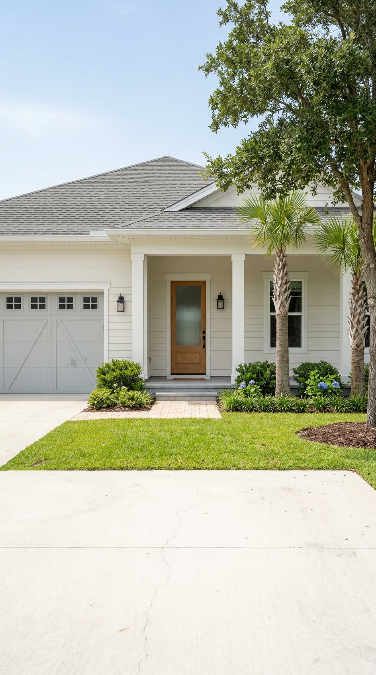
Sneads Ferry homes
You’ll see a mix of waterfront single-family homes, cottages near the river, new subdivisions, and an increasing number of townhomes. Lot sizes and flood exposure vary block by block, so it pays to evaluate each parcel carefully source.
Jacksonville homes
Jacksonville offers a broader inventory of single-family neighborhoods, starter homes, apartments, and rental communities closer to job centers, which generally increases choices at lower entry prices.
Price snapshot and what it means
As of January 2026, market snapshots indicate a median sale price around 350 to 370 thousand dollars in Sneads Ferry (Redfin, Jan 2026) and around 230 to 255 thousand dollars in Jacksonville (Redfin, Jan 2026). Prices shift month to month, and methodology differs by provider, so use these as directional guideposts when you plan. Expect premiums for waterfront proximity or short drives to Topsail Island. Jacksonville usually presents more affordable options and can lower routine costs when you factor in commuting and errands.
Schools and family logistics
Both communities are served by Onslow County Schools. Sneads Ferry-area students commonly attend Dixon schools, including Dixon Elementary, though boundaries can change with growth. Always verify the specific attendance zone for an address through district resources before you decide source.
If after-school activities, sports, or tutoring are part of your routine, map drive times from likely practice fields or community centers. Jacksonville’s size often means shorter travel for a variety of youth programs. In Sneads Ferry, you may drive farther for certain activities, but you’ll gain quick access to water-based recreation.
Transportation and everyday mobility
Public transit is limited in the area, and most daily routines assume a private vehicle. If you want a no-car lifestyle, neither location will feel like a larger metro. Plan for at least one primary vehicle per household, plus a parking and maintenance budget. Keep an eye on seasonal traffic tied to tourism and weather.
Hazards, insurance, and long-term costs
Flood maps and parcel checks
If a property sits near creeks, marshes, the New River, or the ocean, you should review flood-risk information early. FEMA Flood Insurance Rate Maps and county resources help you understand base flood elevations and whether flood insurance is required. Start with official notices about map availability to guide your parcel-level checks and discuss next steps with your insurer and lender source.
Insurance trends to watch
North Carolina has seen rate actions and proposals affecting coastal territories, and Onslow County is part of those discussions. Premiums can materially affect your monthly payment, so ask insurers for quotes on both locations and compare deductibles and coverage types. For updates, monitor the North Carolina Department of Insurance press materials source.
How to decide with confidence
Try your routine test-drive
- Run your actual commute during your report window from at least two candidate addresses.
- Confirm gate hours and which gate your unit or office primarily uses through official base channels source.
- Map your top three errands, the nearest urgent care or hospital, and typical after-school trips.
- Visit on a summer weekend to sample beach-season traffic on US 17 and NC 210 source.
Budget planning checklist
- Price bands: Use current snapshots and label each number with the source and date. Expect Sneads Ferry to skew higher for waterfront and beach proximity.
- Insurance: Get quotes for both locations. Ask about flood coverage requirements and potential differences in coastal territories source.
- Flood risk: Pull parcel-level flood data early in your home search source.
- Lifestyle: If beach, fishing, and boating are weekly rituals, Sneads Ferry’s location may save you time. If quick weekday errands and broad appointment options matter most, Jacksonville often wins on convenience [sources: https://topsailguide.com/communities/sneads-ferry/, https://www.chamberofcommerce.com/business-directory/north-carolina/jacksonville/].
Ready to compare homes in both areas and pressure-test your routine with local insight? Reach out for concierge-level guidance from Joseph Zuba to plan tours, confirm commutes, and align your budget with the lifestyle you want.
FAQs
How far is Sneads Ferry from Jacksonville for daily commuting?
- Under typical non-peak conditions, it is about 20 miles and roughly 25 to 30 minutes, but timing varies by route and time of day; test your exact drive and gate choice source.
What are the main roads between Sneads Ferry and Jacksonville?
- US 17 is the primary corridor, with NC 210 and NC 172 as key connectors; expect added minutes during summer beach season and check the NCDOT county map for context source.
Can I walk to a public beach from Sneads Ferry?
- Some neighborhoods are near water and boat ramps, but true public oceanfront access is on Topsail Island; base-managed Onslow Beach has restricted access rules [sources: https://topsailguide.com/communities/sneads-ferry/, https://en.wikipedia.org/wiki/Onslow_Beach].
Which location typically costs less each month?
- Jacksonville usually presents lower entry home prices and denser errand options, while Sneads Ferry often carries a premium for waterfront proximity and may include higher insurance or flood-related costs depending on the property.
Are schools stronger in one place than the other?
- Both are within Onslow County Schools; assignments are address specific and can change, so verify attendance zones for any property you consider source.
Where are medical services concentrated?
- Jacksonville concentrates more providers and services, anchored by Onslow Memorial Hospital; Sneads Ferry residents commonly drive to Jacksonville for hospital care and many specialty visits [sources: https://payerprice.com/hospitals/onslow-memorial-hospital-340042, https://www.chamberofcommerce.com/business-directory/north-carolina/jacksonville/].